MUST-READ THE DESCRIPTION BEFORE PLACE ANY ORDERI am a GIS professional as my subject of study is
Forestry and Environmental Science. I'm totally connected with it. I have helped many clients in their projects and research. I can offer you the
best output at a standard price.
And also
On-Time delivery with unlimited revision until my work seems
perfect to you.
What can you get from me:- Landuse/ Landcover Extraction
- 2D modeling
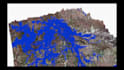
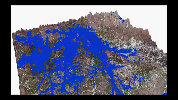
- 3D modeling
- Digitization
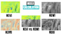
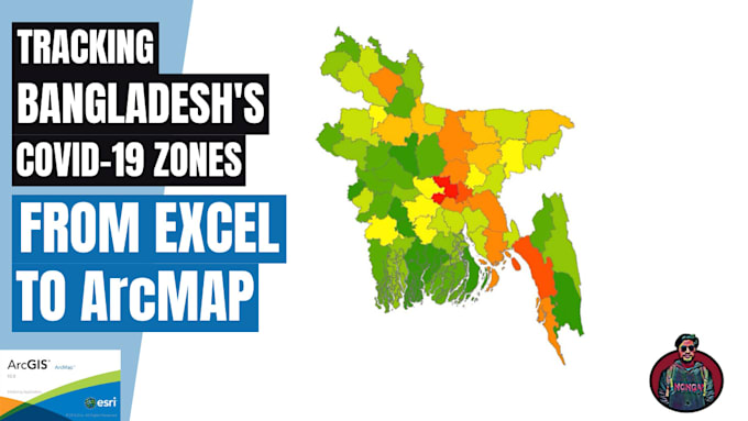
- Image Classification through ArcGIS
- Data conversion
- Viewshed analysis
- Geo-database Design
- Network Analysis
- Trend analysis
- kmz kml
- Spatial Analyst
- 3D animation
- vector tracing
- Georeferencing
- Buffer analysis
- Digital elevation model of any place
Why Me:
- On-time delivery
- Best quality work at a reasonable price
- Proper study and Effort
I'll use
ArcGIS 10.5 software for my work and the file type I can provide you is KML,KMZ,SHP,JPG,JPEG,PNG,PDF,GDB,EMF, EPS,AI,SVG,BMP,TIFF,GIF
Check out my
Youtube channel: https://www.youtube.com/channel/UCkE3iYse8NDNOffAzN0mttA
Feel free to
contact me anytime.