Browse categories
Explore
Fiverr Pro
English
$
USD

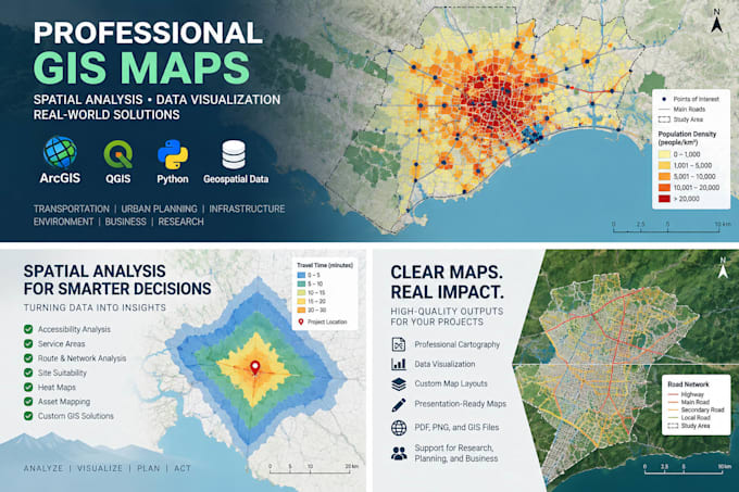
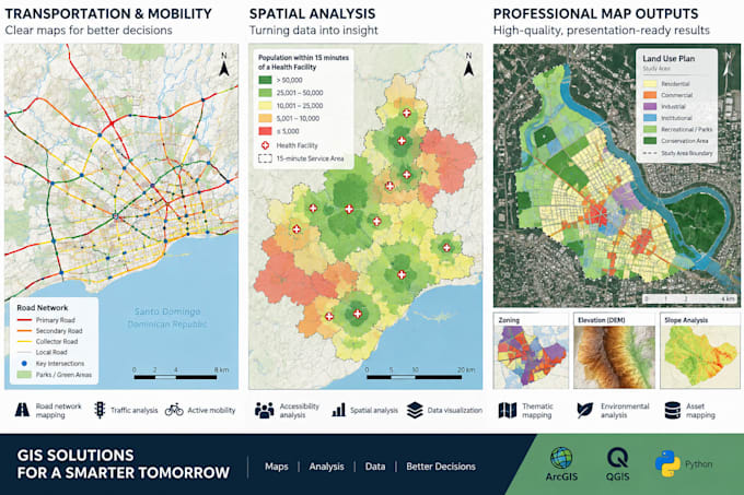
Need a professional GIS map or spatial analysis? I can transform your geographic and tabular data into clear, accurate, and presentation-ready maps using ArcGIS, QGIS, and other geospatial tools.
Im a Civil & Transportation Engineer with 9+ years of experience working with GIS, transportation, infrastructure, mobility, and spatial data.
Services I can provide include:
Deliverables can include high-resolution PDF, PNG/JPG, GIS data, and editable project files depending on your package.
Please contact me before ordering if your project involves complex analysis, large datasets, multiple data sources, or custom requirements. I'll help determine the appropriate scope and package for your project.
Transportation and GIS Specialist, Civil 3D, Mobility Technology
Languages
What information do you need to start my project?
Please provide your available data, desired map/analysis, geographic area, preferred output format, and any examples or style requirements. Shapefiles, GeoJSON, KML/KMZ, CSV/Excel with coordinates, and other common GIS formats are welcome.
Which GIS software do you use?
I primarily work with ArcGIS, along with Python and other geospatial tools when additional data processing or spatial analysis is required.
Can you work with Excel or CSV data instead of GIS files?
Yes. If your data contains addresses, coordinates, geographic identifiers, or other location information, I can often convert it into usable spatial data. Please contact me first so I can review the dataset.
Do you provide the editable GIS/source files?
Yes. Editable GIS data and project files can be provided when included in your package or purchased as an extra. Standard map deliverables can be provided as PDF, PNG, or JPG.
Can you perform custom or advanced spatial analysis?
Yes. I can support spatial, proximity, accessibility, transportation/network, infrastructure, asset, and other GIS analyses. Please message me before ordering complex projects so I can confirm the scope, required data, timeline, and price.
What if my project does not fit one of the packages?
Send me a message with your requirements. I can review the project and provide a custom offer based on the number of maps, analysis required, dataset complexity, and deliverables.