Browse categories
Explore
Fiverr Pro
English
$
USD
Survey gis civil engineering solution expert
Are you looking for professional drone survey data processing services?
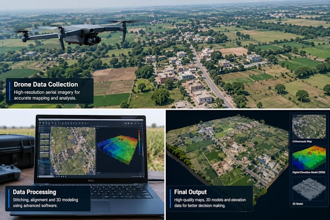
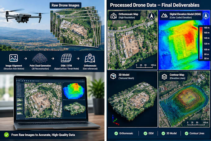
I will process your drone survey data and create accurate topographic maps, contour maps, DEM, DSM, orthomosaic maps, and 3D models.
My Services Include:
* Drone Survey Data Processing
* Topographic Mapping and Contour Generation
* DEM and DSM Creation
* Orthomosaic Map Generation
* 3D Terrain Modeling
* Point Cloud Processing
* Survey Data Export for AutoCAD and GIS
I focus on quality, accuracy, and timely delivery to support your surveying, construction, engineering, and land development projects.
Please contact me before placing an order to discuss your project requirements and data size.
Lets turn your drone data into useful survey deliverables!