Browse categories
Explore
Fiverr Pro
English
$
USD


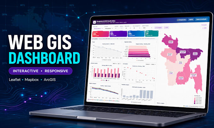
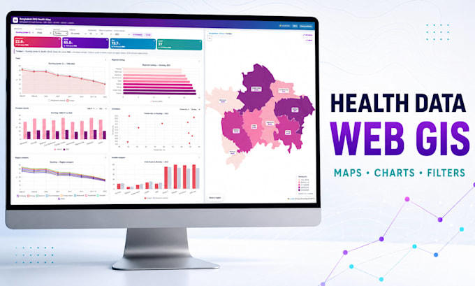
Turn your location data into an interactive Web GIS dashboard that people can explore, understand, and use for decisions.
I am a GIS, Remote Sensing, and full-stack Web GIS specialist with 10+ years of experience across public health, climate, environment, disaster risk, and research projects.
I can deliver:
Interactive maps with Leaflet, Mapbox, MapLibre, OpenLayers, or ArcGIS
KPI cards, charts, filters, search, legends, tooltips, and popups
CSV, Excel, GeoJSON, SHP, KML, API, and PostGIS integration
Satellite and remote-sensing layers from Google Earth Engine
Spatial analysis, responsive design, source code, and deployment support
Why work with me?
Research-grade geospatial accuracy
Clean, modern, mobile-responsive interface
Clear scope, progress updates, and documentation
Solutions tailored to NGOs, researchers, health programs, startups, and businesses
Please message me before ordering. I will review your data, features, hosting, and timeline and recommend the right package.
Languages
Q: Which data formats can you work with?
A: I can work with CSV, Excel, GeoJSON, zipped Shapefile, KML, GeoPackage, GeoTIFF, API data, PostgreSQL/PostGIS and other common geospatial formats.
Q: Can you clean or prepare my GIS data?
A: Yes. I can clean attributes, validate coordinates, transform projections, convert formats and optimize spatial data. Extensive preparation may require a Gig Extra or custom offer.
Q: Will the dashboard work on mobile devices?
A: Yes. All packages include a responsive interface designed for desktop, tablet and mobile screens.
Q: Will I receive the source code?
A: Yes. Source code is included according to the selected package, together with the relevant setup instructions.
Q: Can you integrate the map into my existing website?
A: Yes. I can embed or integrate the application into an existing HTML, WordPress, React, PHP or Laravel website after reviewing its technical environment.