Browse categories
Explore
Fiverr Pro
English
$
USD


Turn your GIS data into a map people can actually click, filter and share.
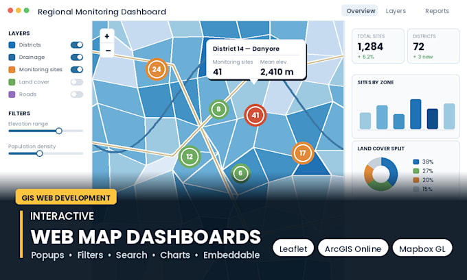
I build interactive maps in Leaflet, Mapbox GL, ArcGIS Online / Experience Builder and QGIS2Web, and deliver either a hosted link or the full source code for your own server.
WHAT I BUILD
- Interactive web maps with popups, tooltips, legends and layer switching
- Filter, search and address geocoding
- Choropleth and cluster maps for large point datasets
- Story maps and scrollytelling for projects and reports
- Dashboards with charts and statistics linked to the map
- Embeddable iframe for WordPress, Wix, Webflow or any site
- Mobile-responsive, fast-loading, works without a GIS licence for your users
YOU RECEIVE
Working map, source files (HTML/CSS/JS or ArcGIS Online item), your data optimised as GeoJSON or vector tiles, and a short guide for updating the data yourself.
SEND ME
Your data (shapefile, CSV, GeoJSON, Excel with coordinates) and one example of a map you like. If you have no data yet, I can build the dataset too.
Message me first with your use case and I will tell you the fastest route to a working map.
GIS Pro
Languages
Do I need to pay for hosting?
(Excel, Shapefile, GeoJSONNo. Leaflet maps run as a single HTML file you can host anywhere, including free hosting. ArcGIS Online builds need your own ArcGIS account., Map Image, etc.)
Can I update the data myself later?
Yes. I structure the data so you can replace one GeoJSON or CSV file, and I include a short update guide.
Can you embed it in my WordPress site?
Yes. I deliver an iframe snippet and will test it on your page if you give me access.