Professional GIS Analyst, Topographic, Geology, Satellite, Thematic
Indonesia
About me
Hello! 👋 I am a GIS Analyst Professional with strong experience in spatial analysis and map creation. I specialize in delivering high-quality maps for various purposes, whether for research, planning, or project development.
I can help you create:
🗺 Topographic maps (terrain and depth representation)
🛰 Satellite imagery maps with spatial analysis
⛰ Geology and geomorphology maps
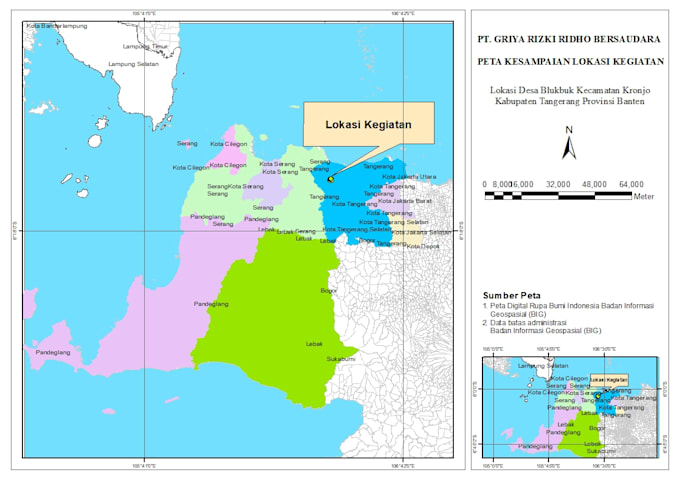
📍 Accessibility maps (kesampaian lokasi)
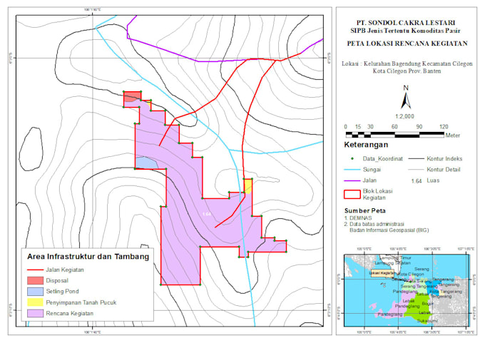
🪨 Quarry source maps and natural resources distribution
🌍 Other thematic and custom maps based on your project needs
With my expertise in ArcGIS, ArcMap, and QGIS,... Read more