Browse categories
English
$
USD
Connect to your AI

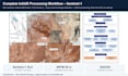

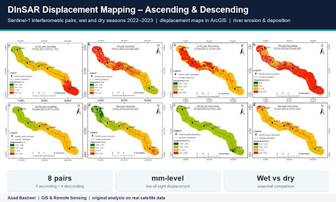
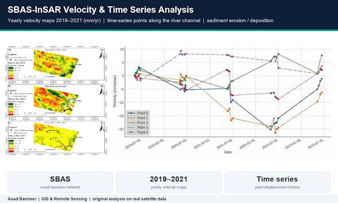
I am a radar remote sensing researcher: PhD candidate at Tianjin University, with an MS in InSAR from China University of Geosciences (Wuhan). My MS thesis used Sentinel-1 DInSAR and SBAS-InSAR to measure river erosion and deposition along the Rio Colorado, Bolivia.
DEFORMATION (InSAR): land subsidence from groundwater pumping, mining, landslides, building and infrastructure settlement, uplift, river erosion and deposition. Methods: DInSAR, SBAS, PS-InSAR, ascending + descending decomposition (vertical and east-west), GACOS atmospheric correction, GNSS validation.
FLOODS (SAR): flood extent from Sentinel-1 backscatter with automatic thresholding, coherence-change flood detection for urban and vegetated areas, flood duration and recurrence, area statistics per district. Radar sees through clouds, so you get maps even during the storm.
Software: SNAP, ISCE2, ASF HyP3, LiCSAR/LiCSBAS, StaMPS, SARscape, SNAPHU, GACOS, Google Earth Engine, ArcGIS Pro, QGIS, Python.
You get GeoTIFFs, maps, time series plots and a method note. Send me your area and dates first and I will check Sentinel-1 coverage for free.
GIS and Remote Sensing Expert for InSAR and Google Earth Engine
Languages
Do I need to provide the satellite data?
No. I download free Sentinel-1 data (ASF / Copernicus) and DEMs for your area. Just send the area (shapefile, KML or coordinates) and the dates.
Can you validate the InSAR results?
Yes. I compare with your GNSS or levelling data, or with public GNSS networks, and report RMSE and correlation.