Browse categories
Explore
Fiverr Pro
English
$
USD

GIS and Survey Data Processing Specialist
Skills
See my services
Junior Engineer
Not Found • Full-time
Feb 2018 - Present • 8 yrs 6 mos
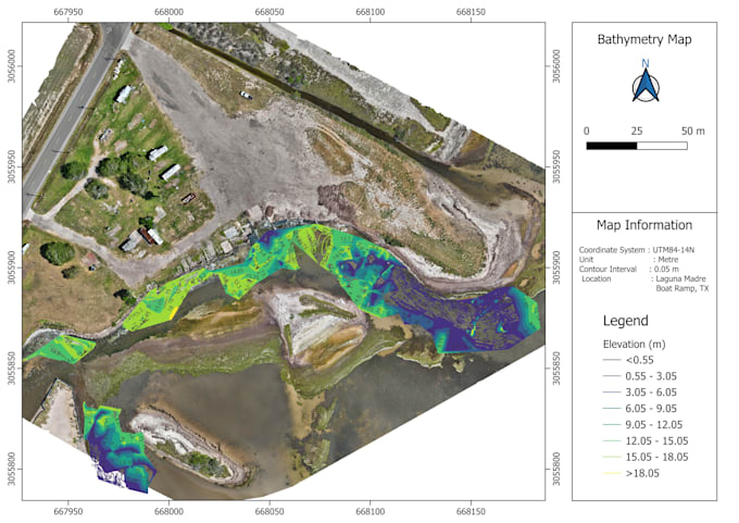
Led field survey operations and hydrological data processing for major infrastructure, river engineering, and environmental projects across Bangladesh. Managed multidisciplinary teams conducting bathymetric, hydrographic, topographic, and morphological surveys, then processed the collected data into clean, analysis-ready datasets for clients and government agencies. Core responsibilities: 1. Processed and cleaned large volumes of survey data, including GPS, bathymetric, cross-sectional, and hydro-meteorological datasets, using AutoCAD, QGIS, ArcGIS, HYPACK, WinRiver-II, HydroPRO, Excel, and SPSS. 2. Validated raw field data for missing values, outliers, and coordinate inconsistencies before generating contour maps, cross-sections, DEMs, and volume calculations. 3. Produced technical reports, thematic GIS maps, and cross-section drawings for clients including the Bangladesh Water Development Board (BWDB), Roads and Highways Department, and international partners such as Nippon Koei of Japan. 4. Delivered professional training to BWDB government officials and university students on survey data processing, quality control, and hydrological modeling software. 5. Contributed to high-profile national projects, including the Matarbari Port Development, the Meghna River Pollution Control Master Plan, the Padma River erosion protection study at Bhedarganj, and multiple bridge feasibility studies over the Jamuna, Meghna, and Padma rivers. This role built the foundation of my professional strength: taking raw, messy field and survey data and turning it into clean, accurate, well-documented deliverables on deadline.
