Browse categories
Explore
Fiverr Pro
English
$
USD
Digital Engineering and Geospatial Solutions
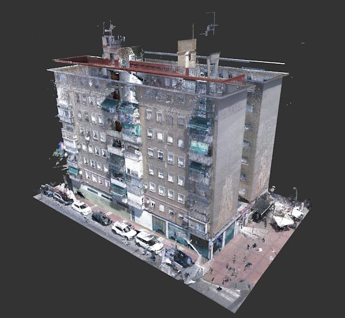
we provide accurate point cloud registration and georeferencing for terrestrial laser scan (TLS), mobile mapping, and drone-derived point clouds.
What we do:
Formats supported: E57, LAS/LAZ, RCP, PTS, XYZ, and others on request. Works with data from Leica, FARO, Trimble, NavVis, and drone photogrammetry outputs.
Background: our team runs a professional surveying and 3D-scanning practice, so this isn't a side skill it's daily work.
Message us with your point count, number of stations, and target CRS before ordering so we can confirm the right package.

What file formats do you accept?
Normally we expect E57, LAS/LAZ, RCP, PTS, XYZ; other formats gladly on request
Do you need control points CP or any known Reference coordinates?
If your aim is to work on local coordinates then they are not strictly required, but they improve absolute accuracy so send them if available. On the other had if you need a specific coordinate reference system then you must include the conrol points file too.
Can you georeference to a specific local/national coordinate system?
Definitely, just share with us me the CRS/datum you need. If available also the control point coordinates.
What point cloud processing software do you use?
I work with industry-standard registration and processing software including Leica Cyclone REGISTER 360, FARO SCENE, Trimble RealWorks, Autodesk ReCap, and CloudCompare for QA/cleanup. I can also export to any format your downstream software needs (Revit, AutoCAD, ArcGIS/QGIS, etc.).
What accuracy can I expect?
First this is a question that depends on the data provided, how good they are acquired on the field. Typically sub-centimeter to a few centimeters RMSE depending on scan quality and station overlap, full report will be included.
Do you offer Scan2CAD/Scan2BIM too?
Yes, check my other gigs, or message me to combine services.
