Expert in Drones, 3D, Photogrammetry, and Orthomosaics
Colombia
Spanish, English, Portuguese, French
About me
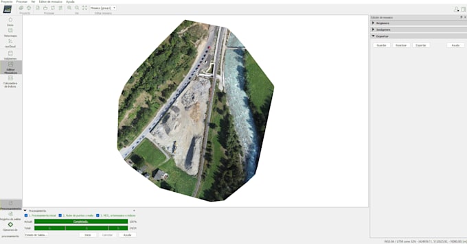
I specialize in drone image processing, photogrammetry, orthomosaics, and 3D modeling. I work with Pix4D and Agisoft Metashape to transform aerial or ground photographs into high-quality outputs such as orthomosaics, point clouds, 3D models, textured meshes, digital surface models, and contour lines. My services are useful for mapping, construction, agriculture, land analysis, environmental projects, and visual documentation. I focus on accurate results, clean processing, and clear communication.... Read more