Browse categories
Explore
Fiverr Pro
English
$
USD


Need a map that a journal reviewer or a thesis committee will not send back?
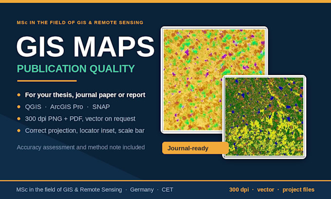
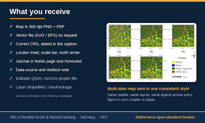
I am pursuing an MSc in the field of GIS & Remote Sensing, and I make maps to publication standard: correct projection, locator inset, scale bar, north arrow, graticule, legible legend, and a clean layout at the exact size your journal or template requires.
What you get:
Typical maps I make: Study area maps, sampling and site location maps, land use/land cover maps, thematic and choropleth maps, elevation and terrain maps, point-density and distribution maps, before/after comparison panels.
Data I can work with: Your shapefiles, Excel/CSV coordinates, GPS points, KML, or I can source open data (e.g., OpenStreetMap, USGS, Copernicus DEM) if you have none.
Software: ArcGIS Pro, QGIS, SNAP
I am based in Germany and work in CET. I reply the same working day, and I ask my questions before I start, not after.
Satellite Mapping and Spatial Analysis, MSc in the field of Remote Sensing
Languages
Do I need to provide the satellite imagery or data?
No. Sentinel, Landsat and Copernicus DEM data are free and open, and I source them for you. If you already have imagery or a dataset, I will happily work with yours instead.
What software do you use, and can I open the files?
QGIS, ArcGIS Pro, and SNAP. Deliverables come as standard formats — GeoTIFF, shapefile, GeoPackage, GeoJSON, PNG, PDF, Excel — which open in any GIS. Editable project files are included in the Premium package.
Can you work in a specific coordinate system?
Yes. Tell me the EPSG code or the country/zone and I will deliver in it. If you are not sure, I will pick an appropriate projection for your study area and state it in the delivery.