Browse categories
Explore
Fiverr Pro
English
$
USD

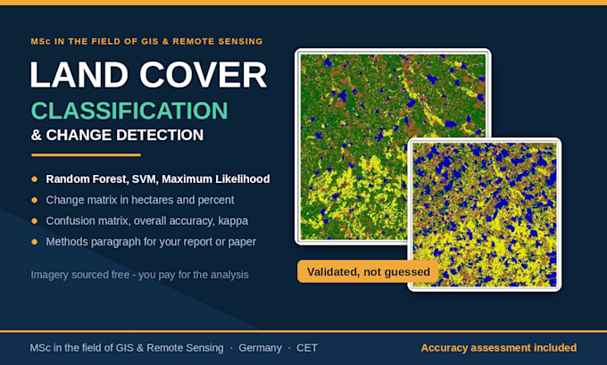
Land use/land cover mapping and change detection done the way it should be, with training samples, an accuracy assessment and a short methods write-up, not just a coloured raster.
What I do:
Accuracy assessment: confusion matrix with overall accuracy, producers/users accuracy, kappa
Imagery I work with: SAR (Sentinel - 1), Sentinel-2, Landsat. I source it free from Copernicus and USGS, so you pay for analysis, not data. I can also work with imagery you supply.
What you get:
Software: ArcGIS Pro, QGIS, SNAP
Tell me your study area and dates and I will say honestly whether the imagery supports it.
Satellite Mapping and Spatial Analysis, MSc in the field of Remote Sensing
Languages
Do I need to provide the satellite imagery or data?
No. Sentinel, Landsat and Copernicus DEM data are free and open, and I source them for you. If you already have imagery or a dataset, I will happily work with yours instead.
What software do you use, and can I open the files?
QGIS, ArcGIS Pro, and SNAP. Deliverables come as standard formats — GeoTIFF, shapefile, GeoPackage, GeoJSON, PNG, PDF, Excel — which open in any GIS. Editable project files are included in the Premium package.
How accurate will the classification be?
That depends on the imagery, the number of classes and how separable they are. I always deliver a confusion matrix and overall accuracy so you can see the real number rather than take my word for it. If the imagery will not support what you need, I will tell you before you order.
