If you're looking for professional & interactive mapping, eye-catching & informative infographics and map animation to make your data stand out, you've come to the right place.
Services:
- Digitization, Georeferencing & Rectification
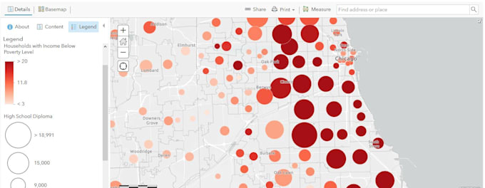
- Data visualization and GIS mapping
- Spatial data management & analysis
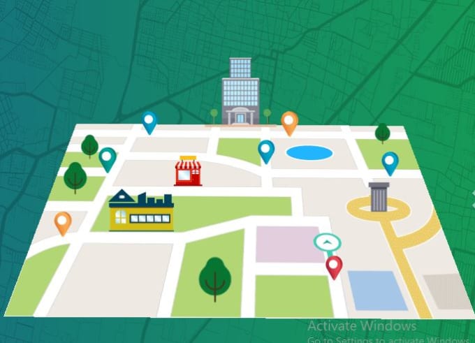
- ArcGIS dashboard, Story map, community map, indoor map & fantasy map
- Infographics, flow chart, animated map with graphics
- Satellite/Drone image processing, DEM, LiDER, Landuse
Why choose my Services:
- Top-ranked for GIS mapping, web mapping, infographic design and infographic searches
- High conversion rates and satisfied customers
- 11+ Years of experience in GIS mapping, web development & graphic design
- Quick turnaround time with attention to detail
What you'll get with this gig:
- Professional and Interactive GIS mapping
- High-resolution files in various formats (JPEG, PNG, PDF)
- Unlimited revisions to ensure your complete satisfaction
- Responsive communication and 24x7 excellent customer support
Tools:
- ArcGIS, ArcGIS Pro, ArcGIS Online, QGIS, Google Earth Engine, Erdas Imagine, Geomatica, Leaflet, Mapbox, Openlayers, Google Maps API
File format: JPG, PDF, PNG, SVG, AI, PSD, shapefiles