Geomatics and Land Surveying Specialist, Civil 3D, GIS, GNSS
Chile
Spanish
About me
Hi! I am a Land Surveying Technician finishing my degree in Geomatic Engineering. I offer clean, accurate office work for your surveying and civil projects:
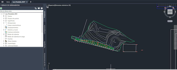
- Point/CSV import, TIN surfaces, contours, profiles, and volume calculations in AutoCAD Civil 3D.
- Thematic maps, spatial analysis, and satellite imagery processing in ArcGIS Pro and QGIS.
- Static GNSS baseline processing in Trimble Business Center (TBC).
Dedicated, detail-oriented, and committed to deadlines. Message me before ordering to review your files!... Read more