Browse categories
Explore
Fiverr Pro
English
$
USD

_uai8es.jpg)
_huaary.jpg)
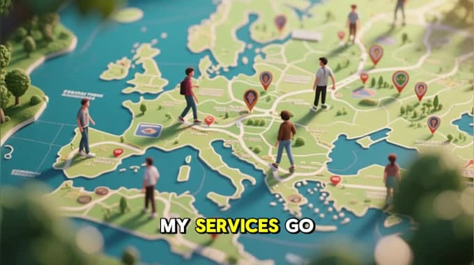
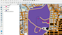
I create custom, visually appealing digital maps that clearly showcase your data at a glance. Need help with a GIS assignment in QGIS or ArcGIS? Youre in the right place!
I can import GPS data, visualize it on maps, and deliver print-ready maps to your specifications. I also offer animated maps to bring your data to life.
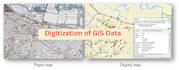
I design, develop, and implement systems and databases to store, manage, and access geospatial data efficiently.
Services I Offer:
Contact me first for a quick chat so we can align your expectations and get started!
Geospatial Scientist
Languages
What types of maps can you create?
I can design custom maps for GIS assignments, land analysis, urban planning, environmental monitoring, or any project that requires accurate spatial visualization. Both static and animated maps are possible.
Which software do you use for mapping?
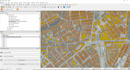
I work with QGIS, ArcGIS, Google Earth Engine, and Python/R for spatial analysis. I can also deliver maps in print-ready formats like PDF, PNG, Shapefile, or GeoJSON.
Can you work with GPS or field data?
Absolutely! I can import GPS or survey data, visualize it on professional maps, and ensure all coordinates and layers are accurately represented.
Do you offer revisions if I need changes?
Yes! Every package includes revisions to make sure your maps and data visualizations match your expectations perfectly.
Can you help with GIS assignments or projects?
Yes. I provide full support for QGIS or ArcGIS assignments, including data analysis, spatial modeling, digitization, and map presentation.