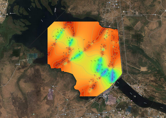
Are you looking for a clean and accurate map from your coordinate data? I'll use QGIS, a professional open-source GIS tool, to turn your Excel, CSV, or KML data into a beautiful, labelled map ready for reports, presentations, or research.
What I'll deliver:
- Import and plot your latitude/longitude points
- Label your locations (e.g. names, IDs)
- Add basemap (OpenStreetMap, Satellite, etc.)
- Add legend, north arrow, and scale bar
- Export as high-quality PDF or JPEG map
What I need from you:
- A file with coordinates (Excel, CSV, or KML)
- Optional: region or boundary shapefile (if any)
- Optional: your preferred colour or layout style
Why choose me:
- QGIS-based mapping (professional & reproducible)
- Fast delivery (2448 hours)
- Clean and modern map design
- Friendly revisions until youre satisfied