Browse categories
Explore
Fiverr Pro
English
$
USD
GIS and Remote Sensing Specialist, Spatial Analysis and Mapping Expert
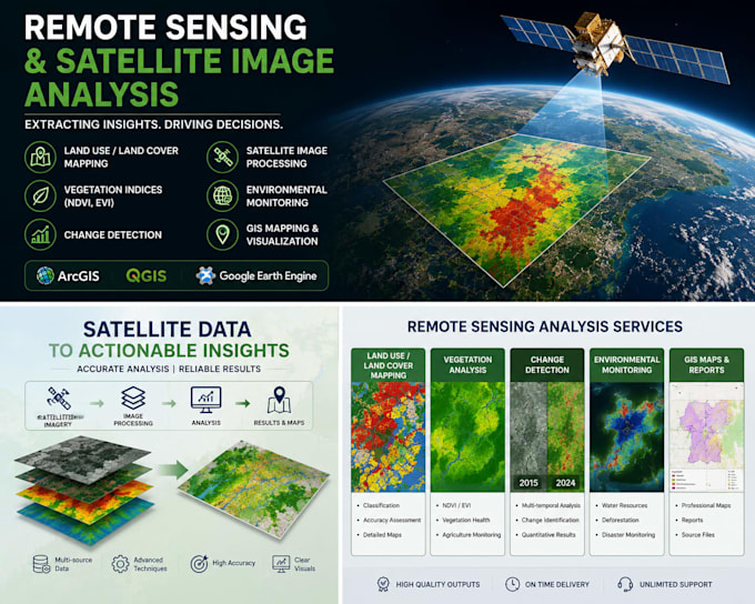
Need insights from satellite imagery? I provide professional remote sensing and satellite image analysis services using GIS and geospatial technologies.
I can help with land use and land cover mapping, vegetation analysis, change detection, environmental monitoring, and spatial data interpretation using satellite imagery from Landsat, Sentinel, and other sources.
Services include:
Land Use/Land Cover Classification
NDVI Analysis
Change Detection
Environmental Monitoring
Satellite Image Processing
Spatial Data Analysis
GIS Mapping and Visualization
Using ArcGIS, QGIS, and Google Earth Engine, I deliver accurate results, clear visualizations, and professional outputs tailored to your project requirements.
Please contact me before placing an order to discuss your project needs.