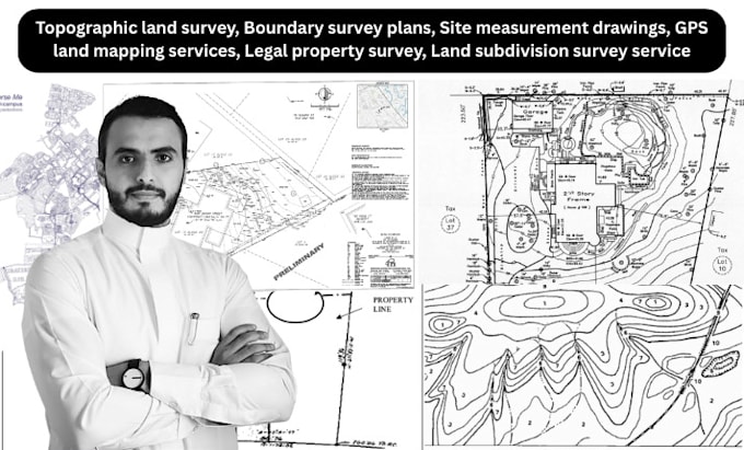
Welcome! I’m a professional land surveyor and civil CAD designer with over 7 years of hands-on experience in topographic surveys, legal boundary mapping, GPS land data collection, and site measurement drawings. I help homeowners, developers, architects, and engineers turn land data into precise, code-compliant survey plans ready for permitting, planning, or development.
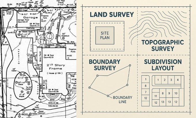
Whether you need a simple boundary survey, a detailed topographic map, or a complex land subdivision plan, I’ve got the tools and expertise to deliver. ... Read more