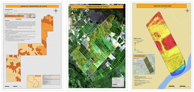
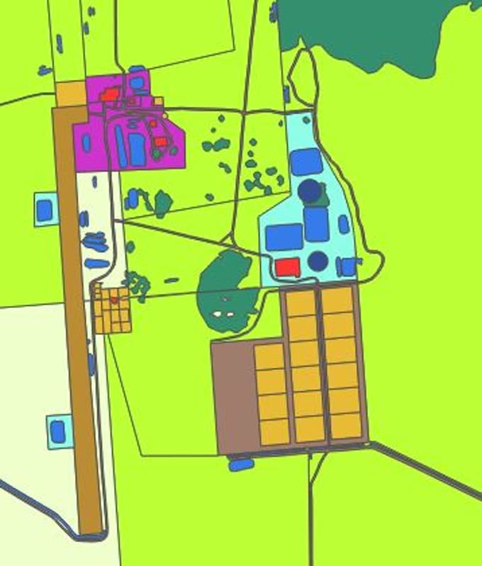
🌍 I help planners, researchers, architects and environmental thinkers transform messy geographic data into clear, beautiful maps.
I’m an Environmental Engineer who genuinely loves mapping (yes, I get excited about colors, layers and labels).
Whether you need a land-use map, satellite insights, or just a clean shapefile to finish your project, I’m here to make your work easier, faster and visually better.
Let’s turn your idea into a map that actually speaks for itself. 🚀🗺️... Read more
b
Bruno F
Offline •
Average response time: 41 hours
See my services
Geographic Information Systems (GIS)
I will create professional gis maps and spatial analysis using qgis