To do GIS mapping, you will need to:
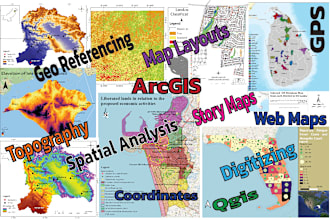
Choose a GIS software program. There are many different GIS software programs available, both free and paid. Some popular options include ArcGIS, QGIS, and Google Earth Engine.
Collect spatial data. Spatial data is data that has a geographic location, such as street maps, satellite imagery, or census data. You can collect spatial data from a variety of sources, such as government agencies, open data websites, or commercial data providers.
Load the spatial data into your GIS software program. Once you have collected spatial data, you will need to load it into your GIS software program. This will allow you to create and analyze maps.
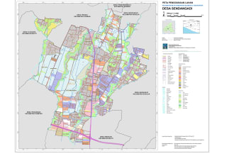
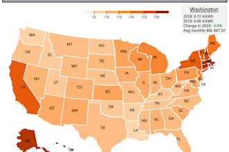
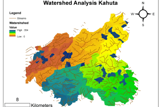
Create a map. Once the spatial data is loaded into your GIS software program, you can start creating maps. You can use the spatial data to create different types of maps, such as choropleth maps, thematic maps, and point density maps.
Analyze the map. Once you have created a map, you can start analyzing it to identify patterns and trends. You can use a variety of GIS tools to analyze maps, such as spatial analysis tools, geostatistical analysis tools, and network analysis tools.
Share the map. Once you have analyzed the map, you can share it with others. You can share the map as a printed map, a digital map file, or a web map.