Browse categories
English
$
USD
Connect to your AI

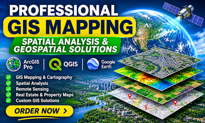
Need clear maps and reliable insights from geographic data? I create professional GIS maps and perform spatial analysis using ArcGIS Pro and QGIS, shaped around your project goals.
Services include thematic, location, real estate and property maps; parcel mapping; site suitability; buffer, proximity and overlay analysis; digitizing; georeferencing; remote sensing; and spatial data visualization. I support agriculture, land use, environmental studies, urban planning, logistics and research projects.
You will receive organized outputs, readable map layouts and agreed formats such as PDF, PNG or editable GIS project files. I focus on clear cartography, careful data handling and communication throughout the project.
Please share your study area, objective, available data, preferred software and required deliverables before ordering. For data sourcing, advanced modelling or custom workflows, contact me for a tailored offer.
Let's turn your data into useful maps and insights. Contact me.
Architectural Designer Floor Plans 3D Rendering Visualization
Languages
What do you need from me to start?
Please provide your study area, project objective, available datasets, preferred software and required output formats. You can also share reference maps.
What GIS services do you provide?
I provide GIS mapping, spatial analysis, property mapping, digitizing, georeferencing, site suitability, remote sensing and thematic mapping.
Which software do you use?
The gig focuses on ArcGIS Pro and QGIS. Other tools can be discussed depending on the project requirements.
How long will my project take?
Delivery depends on your selected package and project complexity. Basic takes 2 days, Standard 4 days and Premium 6 days.
Can you work with real estate and agricultural data?
Yes. I can prepare property maps, parcel maps, land-use maps, agricultural maps and other location-based visualizations.
Do you provide editable source files?
Yes. Editable QGIS or ArcGIS project files are included in Standard and Premium packages.
Can you handle complex GIS projects?
Yes. Advanced projects involving multiple datasets, spatial analysis and specialized mapping can be discussed through a custom offer.
