Thank you for visiting my profile!
I transform satellite imagery and spectral indices into actionable insights for agriculture, environmental management, urban planning, and natural resource monitoring.
Services include:
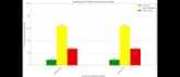
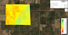
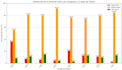
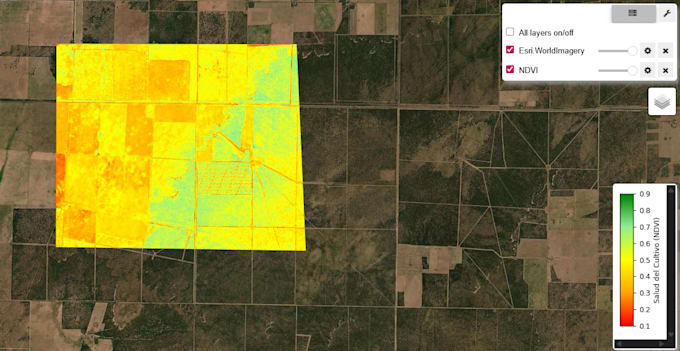
- Agriculture: Crop identification, vegetation health (NDVI, SAVI), soil moisture, crop condition, drought tracking.
- Urban Areas: Structure detection, urban expansion, territorial planning, infrastructure analysis.
- Water & Moisture: Flood mapping, water body delineation, turbidity, water quality (NDWI).
- Wildfires & Hazards: Active fire detection, burned areas, volcano monitoring, deforestation, hazard mapping.
- Geology & Soil: Mineral ID, geomorphology, soil erosion, land use/cover classification.
- Snow & Ice: Differentiation of snow, ice, water, clouds.
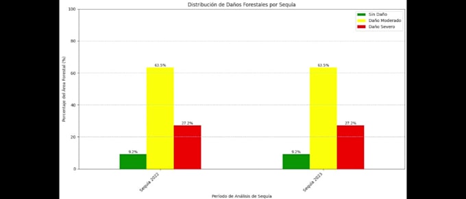
- Forests & Ecosystems: Forest condition, deforestation, environmental restoration.
- Advanced Tech: SAR processing, true-color imagery, 3D DEM mapping, satellite videos for presentations.
Deliverables: PNG, TIFF, or shapefiles (SHP).
Christian Douglas Durich