Browse categories
Explore
Fiverr Pro
English
$
USD

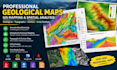
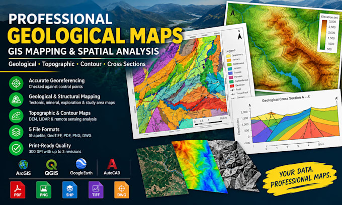
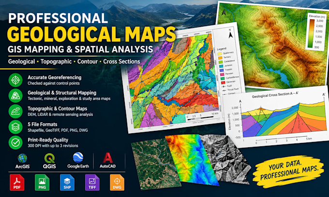
Is your geological map late, inaccurate or rejected by your client, professor or regulator? Get a clean, publication-ready map in as little as 24 hours.
I create professional geological maps, cross sections, topographic and contour maps using ArcGIS, QGIS, Google Earth and AutoCAD. From raw field data, satellite imagery or scanned paper maps, you get precise, print-ready GIS maps that make your reports, proposals and presentations stand out.
What you get:
Perfect for mining and exploration teams, oil and gas, environmental consultants, engineers, researchers and students who need spatial analysis they can trust.
Stop wasting hours on messy maps. Click Order Now, send your data and get your geological map ready to use!
Geologist and GIS Mapping Specialist
Languages
What do I need to send you?
Your area of interest (coordinates, KMZ or shapefile), any source data or scanned maps, and your preferred scale and map size.
Which file formats do I get?
PDF, PNG, Shapefile, GeoTIFF and DWG, depending on your package.
Can you work from scanned or paper maps?
Yes. I georeference and digitize them into clean, editable GIS layers.
Can you map any region in the world?
Yes, as long as reliable base data or imagery exists for it.