Browse categories
Explore
Fiverr Pro
English
$
USD

Vetted Pro
Top Rated


Ciocirlie I. was selected by the Fiverr Pro team for their expertise.
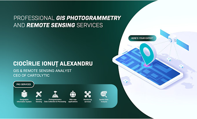
I provide market intelligence and location analytics services that help organizations understand where to invest, expand, or prioritize resources. By combining GIS, demographic data, and spatial modeling, I transform fragmented datasets into clear, decision-ready insights.
My work includes site selection, territory definition, competitor and demand analysis, and market screening, primarily for real estate, retail, and service-based businesses. I have built spatial market databases and screening tools for U.S.-based clients, integrating U.S. Census and ACS data, POIs, zoning context, accessibility metrics, and environmental constraints.
These analyses go beyond simple maps. I develop transparent scoring models that rank locations or territories based on business-relevant criteria, allowing teams to compare opportunities objectively and justify decisions internally or to stakeholders.
Typical outputs include clean GIS layers, structured Excel/CSV datasets, and professional maps that clearly communicate market potential and risk. All assumptions, data sources, and limitations are documented to ensure trust and reproducibility.
Vetted Pro
Geospatial Expert
Top Rated
Ciocirlie I. is part of the Fiverr Pro catalog and has been hand-picked by a dedicated Fiverr Pro team for their skills and expertise.
Vetted for
Data Visualization
Languages
Which industries do you support?
Real estate, retail, franchise development, automotive, services, and infrastructure-related markets.
Do you work with U.S. Census data?
Yes. I work extensively with Census and ACS data for demographic and socioeconomic analysis.
Can you rank or score locations?
Yes. I build transparent, customizable scoring models based on your criteria.
Are the results reusable?
Yes. Databases and GIS layers are structured for future updates.
Can this feed into a Web GIS dashboard?
Absolutely. This service integrates well with Web GIS solutions.