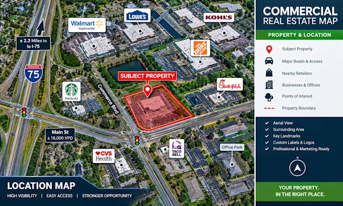
Welcome! I am a professional GIS Analyst and Drone Data Specialist. I help engineers, project managers, and developers transform raw UAV imagery into high-resolution orthomosaics and accurate 2D/3D maps.
Using industry-standard software like Pix4D, Agisoft Metashape, ArcGIS, and QGIS, I deliver:
• High-Res Orthomosaics (.TIF/.JPG)
• Elevation Models (DEM/DSM/DTM)
• 3D Point Clouds (.LAS/.LAZ)
• Topographic Contour Lines
• Volume Calculations
I ensure premium accuracy, fast delivery, and seamless file formats (KML, Shapefile, CAD). Let's bring your aerial data to life!... Read more