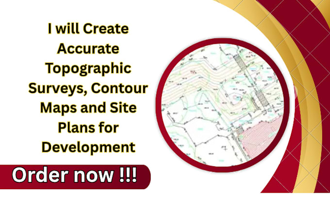
Professional Land Surveying and Mapping Specialist providing accurate topographic surveys, boundary surveys, ALTA surveys, drone mapping, LiDAR processing, GIS analysis, and civil engineering support. Experienced in creating survey-grade maps, contour plans, orthomosaics, DEMs, DTMs, point clouds, volume calculations, and CAD deliverables. Proficient in AutoCAD Civil 3D, ArcGIS, Pix4D, and Global Mapper. Delivering reliable, permit-ready solutions for land development, construction, infrastructure, and site planning projects with precision and efficiency.... Read more