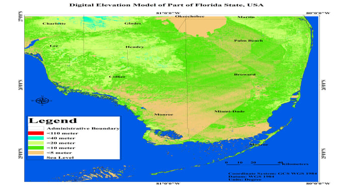
Whether you need professional GIS mapping, remote sensing analysis, geological interpretation, or geospatial data processing, I am here to help.
I am a professional geologist and GIS analyst with expertise in ArcGIS, ERDAS IMAGINE, remote sensing, Python, Jupyter Notebook, AI, and machine learning for geospatial applications.
I offer the following services:
- Raster digitization (Shapefile & Geodatabase)
- Geological & geomorphological mapping
- DEM, TIN & 3D terrain analysis
- Drainage, watershed & catchment delineation
- Slope, aspect & hillshade mapping
- LULC mapping & image classification
- Lineament extraction & structural mapping
- IDW, Kriging & spatial interpolation
- Flood, landslide, erosion & hazard mapping
- Groundwater, hydrogeology & engineering geology
- Environmental geology & GIS-based impact assessment
- Urban planning & land suitability analysis
- Spatial & temporal GIS analysis
- Remote sensing & satellite image processing
- AI & Machine Learning for geospatial analysis
- Python & Jupyter Notebook automation
- Change detection & predictive spatial modeling
- Geospatial database management (GDB, GeoJSON, KML)
- Professional GIS maps & technical reports