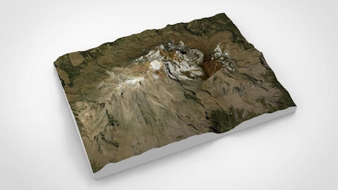
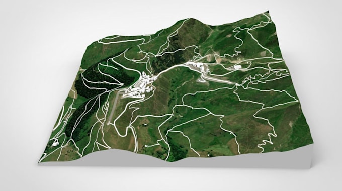
Hi there, This is Diru, a Civil Designer and 3D Artist with my proficiency in integrating and analyzing multi source geospatial data oriented to civil project development. Specialized in terrain generation from remote sensed data (imagery/lidar/radar/surveyed)
My integrated approach ensures you receive high-quality geospatial MULTIPURPOSE derivatives designed to meet the specific demand of your project
Software expertise: QGIS, Global Mapper, AutoCAD, SketchUp, Revit, & other tools for fast, accurate result.
I ensure that you are deeply involved in the creative journey for the best result!... Read more