I am a GIS Analyst having a solid understanding of map projections and timeseries data.
For you, I will create custom digital maps and perform complete geospatial analysis. Currently working in the Telecom Sector as a GIS Analyst.
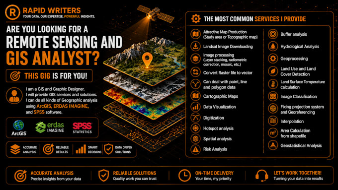
I also have expertise in the editing, conversion, and animation of geospatial data, spatial analysis, georeferencing of data and images, tracing and digitizing, working with aerial and satellite imagery, and other related GIS skills.
I offer the following Services for you:
- Basic package (Starter): Data cleaning + 1 static map (2 days, 1 revision, $50)
- Standard package (Pro): Spatial analysis, heatmaps, 3 static maps / 1 web map, + 5 presentation slides (4 days, 2 revisions, $150)
- Premium package (Platinum): Full GIS scripting, 5+ maps + interactive dashboard, 15 slides, + 15 min video/live presentation (7 days, unlimited revisions, $350)
- Digitization of Point, Lines and Polygon in Vector format
- Coordinate system setup and transformation
- Create Maps from Google Earth
- Shapefile, Feature Class, Geodatabase, KML, etc.
- Georeferencing of scanned images
- Spatial analysis (buffer, overlay, proximity)
- Topology / crosssection
- Data conversion: gdb, .shp, .dwg, .kml.