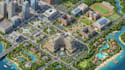
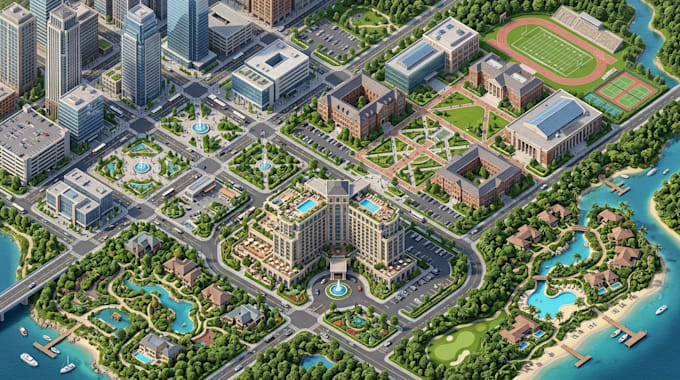
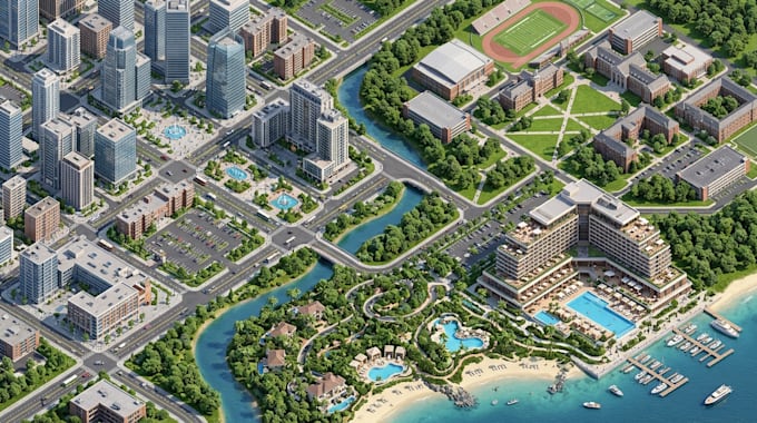
I will do isometric interactive map, city, campus, hotel map, location clickthrough map

E
edwin_ulti
E
edwin_ulti
Edward

About this gig

Need a professional isometric map that makes your location easy to explore and navigate?

I create detailed isometric interactive maps, city maps, campus maps, hotel maps, and click through location maps for businesses, organizations, tourism, and digital platforms.

My services include:

  • Isometric city and urban maps
  • Interactive campus and university maps
  • Hotel, resort, and property maps
  • Clickable location maps and hotspots
  • Interactive navigation and location details
  • Custom 2D and 3D-style map illustrations
  • Organized layouts with clearly defined landmarks

Whether you need a map for a website, visitor guide, property presentation, or interactive digital experience, I will create a professional, visually appealing map tailored to your project requirements.

Why choose my service?

  • Clean and detailed map layouts
  • Carefully arranged buildings and landmarks
  • Clear location identification
  • Professional presentation
  • High-quality deliverables based on your needs

Please provide your reference images, site plan, location details, preferred style, and required output format before ordering.

Let's turn your location into a clear, attractive, and engaging map!

Delivery style preference

Please inform the freelancer of any preferences or concerns regarding the use of AI tools in the completion and/or delivery of your order.

Get to know Edward

Edward

cartographer and map designer

  • FromUnited States
  • Member sinceSep 2026
  • Languages

    English, Spanish
I’m a professional cartographer and map designer creating clear, accurate, and visually engaging maps for properties, businesses, parks, campuses, resorts, and outdoor destinations. I create custom vector maps, campground and RV park maps, resort maps, site maps, subdivision maps, campus maps, tourist maps, trail maps, and wayfinding maps. I work from satellite imagery, CAD files, PDFs, sketches, and existing references to produce organized, detailed maps for print and digital use.