I build interactive web maps and handle spatial data from start to finish.
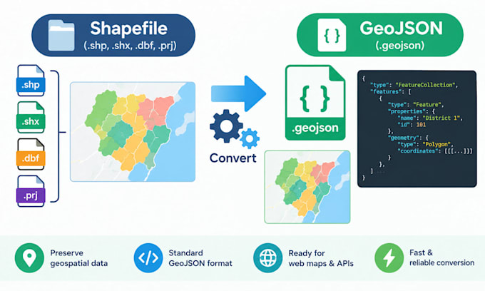
Do you have a shapefile, GeoJSON, or coordinate data that needs to become an interactive map? I process spatial data, convert it to web-ready formats, connect it with your database, and build clean, working maps using OpenLayers and JavaScript.
I also create charts and dashboards that combine geographic data with business attributes. Beyond mapping, I work with SQL Server for database performance and data integration.
Send me your data or your problem, and I'll tell you exactly what I can do.... Read more