Browse categories
Explore
Fiverr Pro
English
$
USD

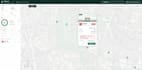
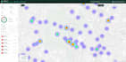
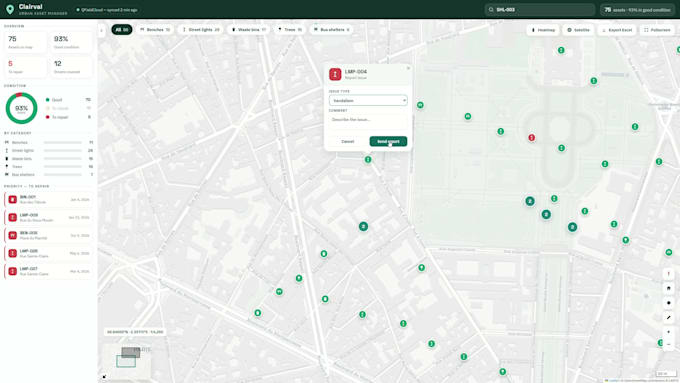
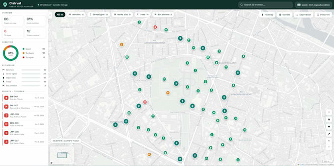
Turn your spatial data into a clear, interactive online map no monthly fees, no Google billing.
I'm a GIS & geomatics engineer. I don't just place markers: I build your map on a clean, properly structured spatial database, so it stays fast, accurate and easy to extend.
WHAT YOU GET
- Your data (Excel, CSV, Shapefile, GeoJSON, KML, PostGIS) cleaned, converted and styled in QGIS
- Popups, legend, layer switcher, clustering, search & filters
- Optional PostGIS backend for large or frequently-updated datasets
- Works on phone, tablet and desktop
- Delivered as a single HTML file or a small React app, hosted for free
TYPICAL USES
Store locators, tourism maps, real-estate portfolios, municipal asset maps, environmental data, delivery zones.
WHY ME
QGIS, PostGIS, Leaflet, React I run complete GIS pipelines daily, from field collection (QField QFieldCloud PostGIS QGIS) to the final web map. Your data is handled by an engineer, not just a template.
Not sure which package fits? Send me a data sample and your goal I'll reply quickly with a clear recommendation.
GIS Engineer QGIS, ArcGIS and Web Mapping Expert
Languages
What data formats do you accept?
CSV/Excel (addresses or coordinates), Shapefile, GeoJSON, KML, GPX, PostGIS. Only addresses? I can geocode them.
Do I need to pay for hosting or a Google API?
No. Leaflet + OpenStreetMap means zero licence cost, and I can set up free hosting (GitHub Pages/Netlify).
Can I update the map myself later?
Yes. Your data stays in a simple GeoJSON/CSV file you can edit — a short guide is included from Standard.
Can you embed it in WordPress/Wix/Squarespace?
Yes, via a simple iframe. Instructions included with delivery.
Is my data kept private and secure?
Yes. Your data is used only to build your map, never shared or reused. On request I delete all files after delivery, and the map can run fully self-hosted on your own server.
Who owns the map and the data once it's delivered?
You do — 100%. You receive all source files and keep full ownership. No lock-in, no subscription, and no dependency on any third-party platform to keep it running.