Browse categories
Explore
Fiverr Pro
English
$
USD

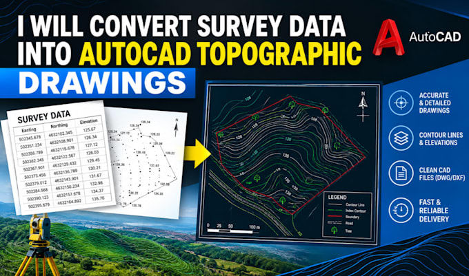

Accurate Topographic Maps from Your Survey Data
Do you have survey data that needs to be converted into clear, professional topographic drawings? I will convert your supplied survey points, coordinates, measurements, or compatible files into organized AutoCAD topographic drawings.
My services include:
What you will receive:
Clean, well-organized drawings based on your supplied information, with the agreed file formats and project details.
What I need from you:
Your survey data, project location, preferred drawing scale, required file format, and any reference drawings or special instructions. I focus on clear communication, attention to detail, and dependable delivery.
Please contact me before Ordering for large datasets or projects requiring specialized deliverables.
Fiverr does not screen freelancers in this category. Please verify qualifications and discuss requirements with the freelancer before ordering, including any preferences regarding the use of AI tools.
US Land Surveyor
Languages
What survey data can you work with?
I can work with compatible survey points, coordinates, measurements, and existing files, depending on the data format and project scope
Can you create contour lines and elevation plans?
Yes, provided the supplied data contains sufficient information to represent the terrain and elevations appropriately.
Will I receive an editable AutoCAD file?
Yes, when DWG or DXF delivery is included in your selected package.
Do you perform field surveys?
No. This service focuses on drafting from client-supplied survey data and does not include on-site surveying or professional survey certification.
Can you handle large survey datasets?
Yes, subject to reviewing the data, project complexity, deliverables, price, and timeline before ordering.
Can I request a custom package?
Yes. Contact me with your project details so I can assess the scope and offer a suitable price and delivery schedule.
