Browse categories
Explore
Fiverr Pro
English
$
USD


I deliver professional GIS-based hazard and disaster risk assessment to support disaster risk reduction (DRR), environmental management, and risk-informed planning.
Using AHP, Weighted Overlay / Weighted Sum, and vulnerability integration, I produce spatially accurate and scientifically structured risk maps.
Services include:
· Flood susceptibility mapping
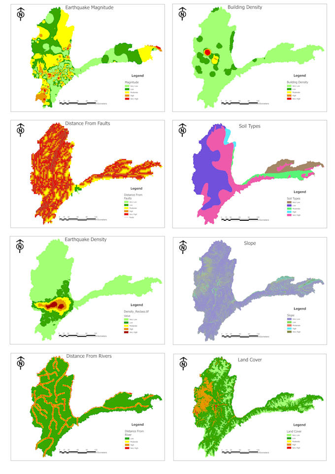
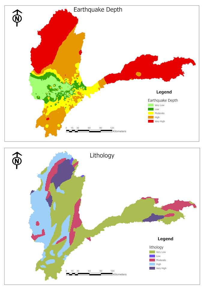
· Earthquake and seismic risk analysis
· Landslide hazard modeling
· Multi-hazard assessment
· Vulnerability and exposure mapping
· Integrated risk modeling
Outputs are suitable for: Academic research, municipal planning, NGO proposals, environmental reports, and DRR strategy documents.
GIS Analyst
Languages
1. What hazards can you analyze?
Flood, earthquake, landslide, drought, or multi-hazard assessment. Custom hazard types can also be discussed.
2. Can you include vulnerability factors like population or buildings?
Yes, vulnerability integration is available in standard and premium packages.