GIS and Remote Sensing Specialist Using ArcGIS and Python
Pakistan
English
About me
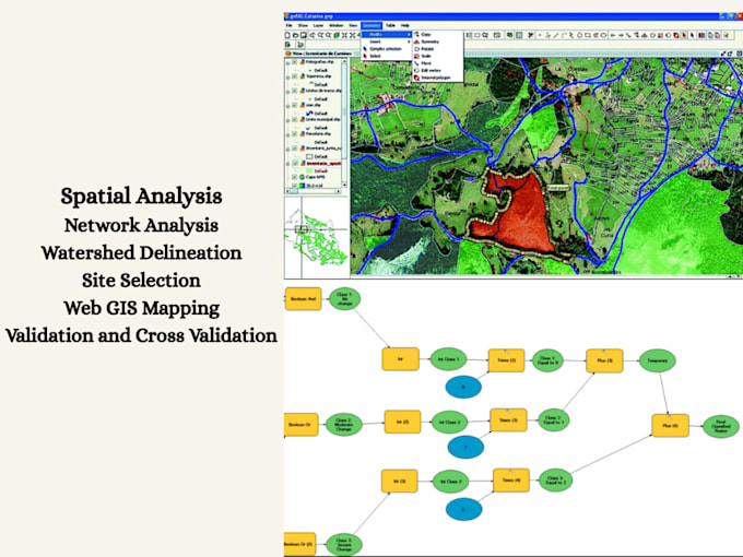
I'm a Remote Sensing and GIS specialist currently pursuing my MS in this field, with extensive hands-on experience in delivering high-quality geospatial solutions. I offer a wide range of GIS services including spatial analysis, digitization, personal geodatabase creation, watershed delineation, network analysis, site selection, and both supervised and unsupervised image classification. I work proficiently with industry-standard tools such as ArcGIS, ArcGIS Pro, and ERDAS Imagine, and leverage the power of Python to automate, streamline, and enhance complex GIS workflows.... Read more