Browse categories
Explore
Fiverr Pro
English
$
USD
Need a high-quality orthomosaic map from your drone images?
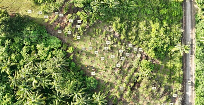
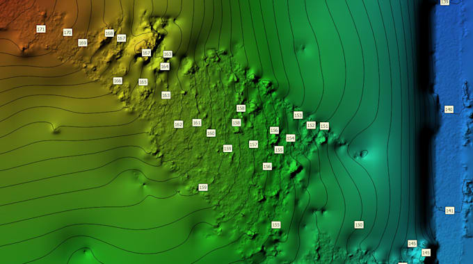
I provide drone image processing and photogrammetry services for GIS mapping, forestry, agriculture, construction, mining monitoring, and environmental assessment.
MY SERVICES
DELIVERABLES
GeoTIFF, JPG previews, and other compatible GIS files, depending on your package.
REQUIREMENTS
Please provide your original drone images, project area, preferred coordinate system, and GCP/RTK data if available.
IMPORTANT
This service covers processing client-provided imagery. Drone flights and ground surveys are not included. Results depend on image quality, overlap, and geolocation.
Please contact me before ordering large or complex projects.
Let's turn your drone images into valuable geospatial data!



1. What files do you need to start the project?
I need your original drone images, approximate survey area, and preferred output format. GCP or RTK data is helpful if available.
2. What deliverables will I receive?
Depending on your package, deliverables may include georeferenced orthomosaic maps, GeoTIFF files, JPG previews, DSMs, point clouds, and contour lines.
3. Question: Do you provide drone flight services?
This Gig focuses on processing client-provided drone images. Drone flights and aerial image collection are not included.
4. Question: Can you process large drone image datasets?
Yes. Don't hesitate to contact me before ordering large projects so I can assess the image count, project area, processing requirements, and delivery time.
5. Can I use the outputs in QGIS?
Yes. I can provide compatible GIS outputs, such as GeoTIFF, depending on your selected package and the available data.
6. Do you guarantee survey-grade accuracy?
Accuracy depends on image quality, geotagging, flight conditions, and ground control. Survey-grade accuracy is not guaranteed without appropriate data and validation.