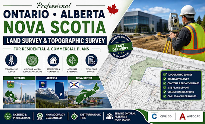
I'm a Geodetic Engineer/Licensed Land Surveyor from the USA for 8 years and specializes on the preparation of survey data generated to AutoCAD Civil 3D for road design/topography and plotting of parcels/lot from legal descriptions/land titles incorporated to site development plans. I also interpret data from LIDAR drones for various data file formats and interpretation (LAS,LAZ, GeoTIFF, KML/KMZ, DEM/DTM). I can also plot parcels/lots from legal descriptions/technical descriptions to identify its metes and bounds.... Read more