Browse categories
English
$
USD
Connect to your AI
Thanks For Stopping By!
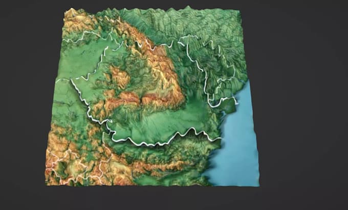
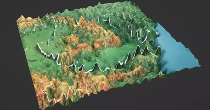
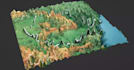
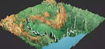
I'm Gbera, i have creativity skills in topographic map. I help clients create survey-grade topographic maps, contour lines, and high-resolution Digital Elevation Models (DEMs) for engineering, construction, and land development, using advanced LiDAR, SRTM, drone, and GPS data, I deliver precision elevation models tailored to your needs.
I also build immersive 3D terrain visualizations for Google Earth (KMZ), giving your team a clear picture of site conditions before fieldwork begins.
Ready to elevate your next big project? Message me today before placing order with your area of interest and data source, and let's get started right away!\
Warm Regards.
3D Map Creator
Languages