Browse categories
Explore
Fiverr Pro
English
$
USD

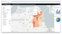
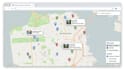

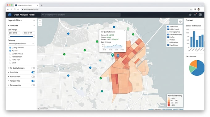
I specialize in building modern, interactive web mapping solutions using Mapbox, Leaflet, OpenStreetMap (OSM), JavaScript, GeoJSON, and spatial databases. I create custom GIS applications that turn complex geographic data into clear, interactive, and user-friendly maps.
Whether you need a simple map visualization or a full GIS platform with multiple layers, filtering, routing, and real-time data integration. I work with a wide range of GIS data formats including GeoJSON, CSV, KML, Shapefiles, and PostGIS databases, ensuring smooth integration and accurate spatial representation.
What I Do
Contact me before ordering so we can discuss your project requirement
Cartographer GIS Specialist Fantasy, Survey Custom Map Designer
Languages
What is Web GIS?
Web GIS is an interactive web-based system that displays and analyzes geographic (spatial) data on maps.
What technologies do you use?
I use Mapbox, Leaflet, OpenStreetMap (OSM), JavaScript, GeoJSON, and PostGIS databases.
Can you use my existing GIS data?
Can you use my existing GIS data?
Do you build custom features?
Yes, I can add layers, filters, popups, routing, heatmaps, clustering, and more.
Is the map mobile-friendly?
Yes, all web maps are fully responsive and work on mobile, tablet, and desktop.
Can you integrate APIs or live data?
Yes, I can connect APIs like Mapbox, OSM, or custom real-time data sources.
Do you provide deployment?
Yes, I can help deploy your Web GIS app to your server or hosting platform