Browse categories
English
$
USD
Connect to your AI


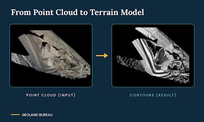
Need a clean 3D terrain model and contour lines from your survey data? Send us your point cloud, LiDAR or drone data, and we will turn it into an accurate, ready-to-use CAD file.
What you get:
- 3D terrain surface (DTM/DGM) built from your data
- Contour lines at the interval you choose
- Clean topographic plan (Premium package)
- Editable DWG file, plus PDF in Premium
What we need from you:
- Point cloud (RCP, E57, LAS) or survey points
- Coordinate system and desired contour interval
- Any special requirements for the drawing
Please note: we process data provided by the client. We do not perform on-site field surveys.
Need a larger area or a different deliverable? Message us before ordering and we will prepare a custom offer.
Fiverr does not screen freelancers in this category. Please verify qualifications and discuss requirements with the freelancer before ordering, including any preferences regarding the use of AI tools.
Survey and CAD Engineering Team
Languages
What input data do you accept?
Point clouds in RCP, E57 or LAS format and survey point data. Please tell us the coordinate system you need.
Do you perform on-site surveys?
No. We only work with data provided by the client.
What files will I receive?
An editable DWG file. The Premium package also includes a PDF.
My area is larger than the packages cover. Can you help?
Yes. Message us before ordering with your area size and data, and we will prepare a custom offer.