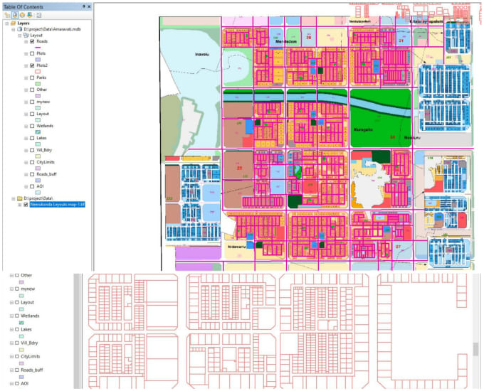
I'm a GIS Analyst, I do manipulation of complex databases and spreadsheets, Paper Map Digitization, Remote Sensing, Geological Maps all other Map production work.
use ArcGIS Pro, ArcMap, ArcGIS Online, QGIS, ERDAS, ENVI, Google Earth Pro etc. mostly.
In addition I provide Interactive Web Maps, Story Maps for your business or institute.
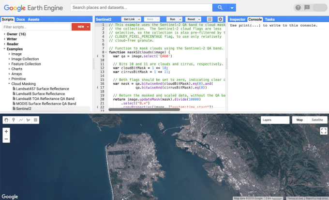
Remote Sensing Applications :
Satellite Image Processing, DEM, Lidar, Land Use Classification, Temporal Data Analysis, Spectral Indices etc.... Read more