Precision GIS,Remote Sensing and Photogrammetry Service
Pakistan
Urdu, English
About me
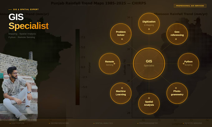
I hold a Master Degree in Remote Sensing and GIS and work as a skilled GIS Analyst. I specialize in map design, spatial analysis, photogrammetry, and satellite image processing. I’m proficient in tools like ArcGIS, QGIS, ERDAS Imagine, Pix4D, Agisoft Metashape, and other photogrammetric software. I deliver accurate, high-quality geospatial solutions tailored to your needs — from land use mapping and 3D modeling to remote sensing analysis and visualizations.... Read more