Browse categories
Explore
Fiverr Pro
English
$
USD


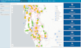
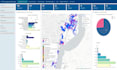
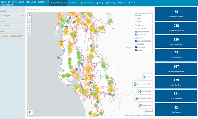
Are you seeking an expert who can transform your big data into an interactive web map visualization? Look no further. My team and I are equipped to develop a web map that brings your data to life.
This gig includes:
WHY ME?
My team comprises ten to fifteen technology enthusiasts, specifically in the GIS sector, who are passionate about their work. Our collaborative effort enables us to deliver results quickly and accurately.
Please contact me first for a quick chat to align expectations.
A Technological Innovation Hub for GIS Solutions
Languages
What technologies do you use for web map development?
We use Leaflet.js, R Shiny, ArcGIS Online, Mapbox, and JavaScript for front-end interactivity. For back-end integration, we work with R, and Python.
Can you integrate live data into the web map or dashboard?
Yes! We support real-time data integration from APIs, MySQL databases, and CSV/GeoJSON feeds to create dynamic dashboards and web maps.
Is your service suitable for non-technical users?
Yes, our solutions are built with user-friendly interfaces, customizable filters, and intuitive navigation so that even non-technical users can gain insights easily.
Can I download data directly from the web map?
Yes, we include a data download feature, allowing users to export filtered datasets or map layers in formats like CSV, GeoJSON, or Excel.