I turn real places into models you can hold.
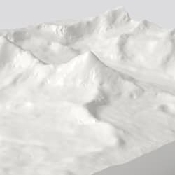
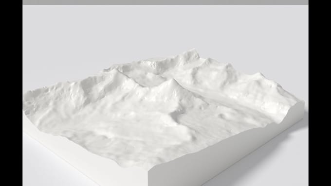
I come from geospatial and hydrological modeling, so terrain is my strongest ground: public satellite elevation data turned into clean, printable models of actual mountains, valleys and coastlines, every ridge where it really is.
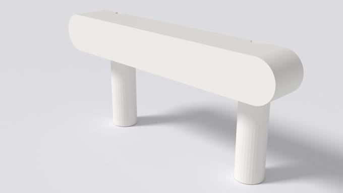
I also model functional parts: brackets, pulls, caps, enclosures, replacements for hardware no longer sold. Parametric workflow, so a re-cut after your test print takes minutes.
You get a watertight, slicer-ready STL, a preview render before the final file, and one free adjustment if the print does not fit.... Read more