Browse categories
English
$
USD
Connect to your AI

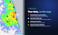
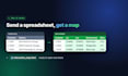
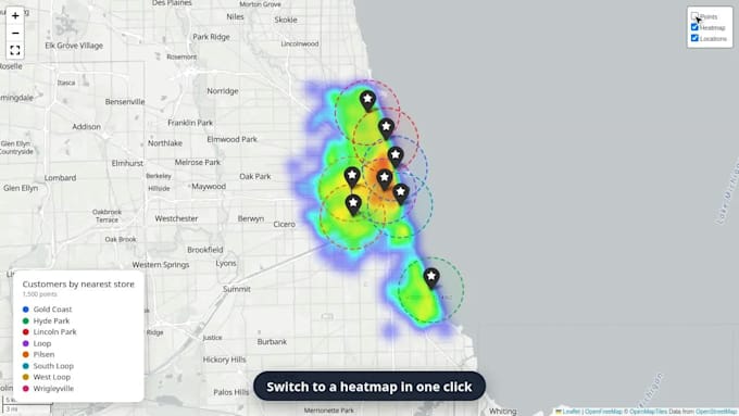
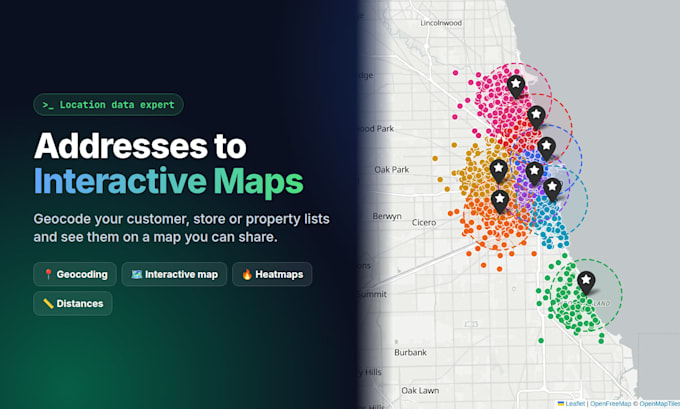
Have a list of customers, stores, properties or deliveries in a spreadsheet? I'll turn your addresses into coordinates and an interactive map you can open in any browser and share with your team.
WHAT YOU GET:
- Latitude & longitude for every address, added to your Excel/CSV
- Interactive HTML map: zoom, click points, toggle layers
- Color-coded categories, clusters and heatmaps
- Nearest store/warehouse for each customer, with distances
- Delivery or service radius zones
WHY WORK WITH ME:
I work with location data professionally every day
List of any addresses that couldn't be matched, so nothing is silently lost
No software needed: the map is a single file that opens in any browser
Your data stays private and is deleted after delivery
PERFECT FOR:
Retail & franchises, real estate, logistics & delivery, sales territories, event planning, market research.
Message me with a sample of your data before ordering and I'll confirm the best package!
Python Developer , Web Scraping , Automation
Languages
What do I need to send?
An Excel or CSV file with your addresses (one column, or split into street, city and zip). Extra columns like name or category can be shown on the map.
How accurate is the geocoding?
Complete addresses are usually matched at street level. Any address that can't be found is listed separately so you can review it.
Do I need any software to open the map?
No. The map is a single HTML file that opens in any web browser, on desktop or mobile.
Which countries do you support?
Worldwide. Just tell me which country or countries your addresses are in.
I have more addresses than the package includes. What do I do?
Add the "Additional 1,000 addresses" extra as many times as you need, or message me for a custom offer.