Browse categories
Explore
Fiverr Pro
English
$
USD
GIS Developer, Remote Sensing Scientist
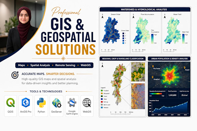
Hi! Im a GIS & Remote Sensing specialist helping researchers, businesses, and organizations turn geospatial data into accurate maps, insights, and intelligent solutions.
My Services:
Tools: ArcGIS Pro | QGIS | Google Earth Engine | Python | PostGIS | PostgreSQL | GeoServer | Leaflet | Mapbox | TensorFlow | PyTorch
I deliver accurate, professional, and practical geospatial solutions tailored to your project needs.

Programming language:
Python
Technology:
Jupyter Notebook
•
MATLAB
•
arcgis
Analysis Type:
Qualitative Analysis
•
Statistical Analysis
Tools:
Microsoft Excel
What satellite datasets can you work with?
Sentinel-1 (SAR), Sentinel-2 (optical), Sentinel-5P / TROPOMI (air quality), Landsat 5/7/8/9, MODIS, SRTM / ASTER DEM, GPM rainfall, and virtually any dataset accessible through Google Earth Engine.
Can you work with my own data — shapefiles, rasters, CSV?
Yes. I accept Shapefile, GeoPackage, GeoJSON, KML/KMZ, GeoTIFF, and CSV/Excel with coordinates. I also handle messy, inconsistent, or poorly projected data as a routine part of the work.
Do you hand over the source code?
Always — in the Standard and Premium packages. Every script is fully commented and documented with a README. You own the code and can modify or re-run it independently.
Can the outputs be used in academic publications?
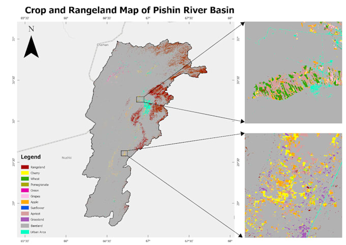
Yes. My pipelines follow peer-reviewed methodologies: harmonic regression, Mann-Kendall, Random Forest with confusion-matrix accuracy assessment. Figures can be formatted to MDPI, Elsevier, Springer, or IEEE standards on request.
What study-area sizes can you handle?
From a single agricultural field to a full country. I use tiled processing and GEE's cloud infrastructure for large extents. National-scale projects are routine.
Can I request something not listed above?
Message me first and I will scope it and build a custom offer. If it touches GIS, remote sensing, or spatial data, I can almost certainly help.