Browse categories
Explore
Fiverr Pro
English
$
USD


Our team is an amalgamation of various professionals from prestigious institutes like ISRO,
IIT, NIT, ICAR with 2 to 3 years of Experience in Remote Sensing and GIS domain. Their different skill sets and experience help in developing the robust Application using Google Earth Engine.
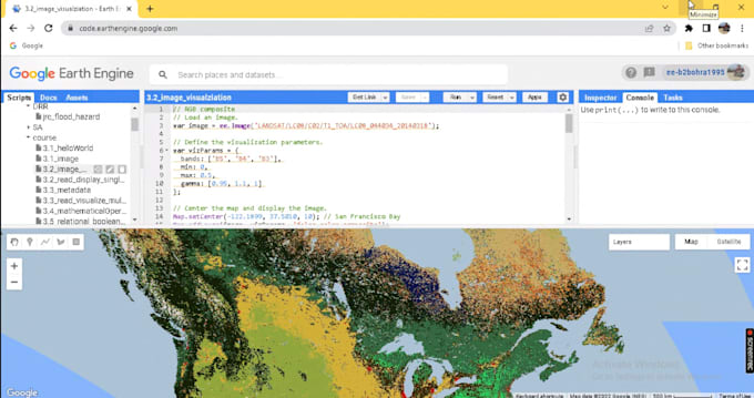
We provide services of Satellite image analysis for remote sensing and GIS applications using Google Earth Engine Javascript API. We help in building end-end Web App using GEE.
Spatial Data Scientist, GIS, Optical and SAR Satellite exploiter
Languages
Do you provide any services related to Google Earth Engine python API?
Yes, We provide. Kindly contact for the same.
Do you provide any other services related to geospatial analysis not mentioned in the GIG?
Yes, We provide all the services related to water resources, forestry, agriculture, urban, marine, atmosphere, and disaster. Kindly contact me to know more.
Do you provide guidance in college projects and Assignments?
Yes, We do provide guidance and services for college projects and assignments related to geospatial analysis.