Browse categories
Explore
Fiverr Pro
English
$
USD

Civil Engineer
Skills
See my services
.png)
GIS Expert
Fiverr • Full-time
Jun 2025 - Present • 1 yr 4 mos
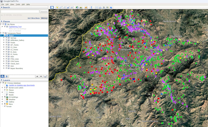
Providing GIS mapping, spatial data analysis, digitization, and geospatial solutions for engineering and environmental projects. Creating and analyzing maps using GIS tools, including thematic maps, flood hazard maps, land-use maps, and infrastructure mapping. Performing spatial analysis, data processing, and visualization to convert raw geospatial data into meaningful insights. Digitizing features from satellite imagery, survey data, and engineering drawings, including buildings, roads, watercourses, and other infrastructure elements. Developing flood mapping and risk assessment outputs using terrain data, hydrological information, and geospatial analysis techniques. Preparing technical documentation, reports, annotations, and organized datasets for engineering and planning applications. Working with DEMs, satellite imagery, vector/raster datasets, and coordinate systems for accurate geospatial analysis.

AI Data Annotation & Model Evaluation
freelancing dot com • Freelance
May 2024 - Present • 2 yrs 5 mos
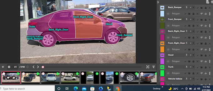
Worked on AI model training and evaluation projects involving data annotation, quality review, and assessment of AI-generated outputs. The work focused on producing accurate training data and evaluating model responses against defined guidelines to improve the quality, consistency, and reliability of AI systems. Key Responsibilities: Performed frame-by-frame video and image annotation using bounding boxes and object labels. Annotated people and other objects for computer vision and AI training datasets. Reviewed and verified annotations for accuracy, consistency, and completeness. Evaluated AI-generated responses based on accuracy, relevance, instruction-following, and overall quality. Identified incorrect, incomplete, or inconsistent AI responses and provided appropriate evaluations. Compared AI outputs against reference information and project-specific guidelines. Performed quality-control checks on annotated datasets and model outputs. Followed detailed annotation and evaluation guidelines to maintain consistent labeling standards. Contributed high-quality reviewed data for AI model training and performance improvement.
