Are you looking for precise building footprint extraction and immersive 3D visualizations? I provide professional geospatial services using QGIS and Python to transform raw spatial data into detailed, actionable insights. Whether for urban planning, real estate, or architectural projects, I can help you bring your data to life.
What I offer:
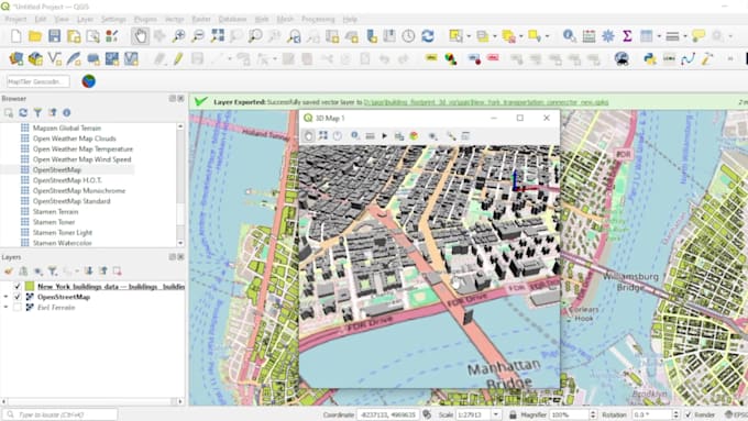
- Accurate Building Footprint Extraction:
- Extract footprints from various data sources, including satellite imagery, LIDAR, and DEM.
- Use Python scripts for efficient, large-scale data processing.
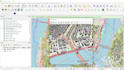
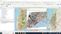
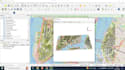
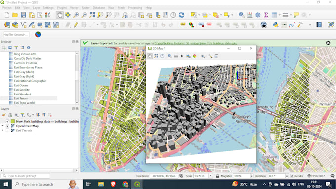
- 3D Visualization:
- Create stunning 3D models of building footprints using QGIS.
- Integrate height data for true-to-scale representations.
- Customize 3D environments, including terrain and elevation models.
- Data Integration:
- Handle diverse datasets (e.g., shapefiles, GeoTIFFs, CSV, and more).
- Seamless integration with other GIS platforms or CAD tools.
- Automation & Scripting:
- Develop Python scripts for repeatable, automated workflows.
- Custom script development for unique project requirements.
Why choose me:
- Extensive experience in QGIS and Python for geospatial analysis.
- High attention to detail and data accuracy.
- Timely project delivery.