If you're looking for cutting-edge GIS solutions tailored to your projects unique needs, I am here to help you achieve success.
*Services*
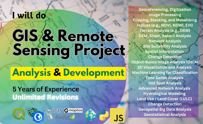
- - Georeferencing and Digitization
- - Geoprocessing & Spatial Modelling
- - Cartography & Map production
- - Data Cleaning, Visualization & Interactive Mapping
- - Custom GIS Application Development
- - GIS Data Conversion
- - Automatic Satellite Image Collection and Analysis
- - Band Rationing (NDVI, NDWI, EVI, etc..) & Automation
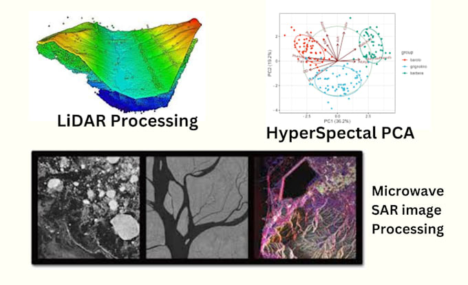
- - Microwave Remote Sensing Services
- - DEM, Terrain Analysis & Hydrology Analysis.
- - Lidar Data Analysis Services
- - Machine Learning Models for Geospatial Analysis
- - Image Classification & Object Detection using ML and AI
- - Feature Extraction from Satellite Images
- - Supervised Classification
- - Unsupervised Classification
- Spatial Database Management
- - Spatial Database Design & Implementation
- - Data Modelling & Schema Development
- - Spatial Quarry & Non-Spatial Quarry
- - Performance Optimization & Spatial Indexing
- - Web-based GIS applications using JavaScript and JS Framework.
- - Custom Web-GIS application based on objectives.
- - Map services integration
Let's Connect!!